Mapping the Smart Future with 3D Data
Mapping the Smart Future with 3D Data
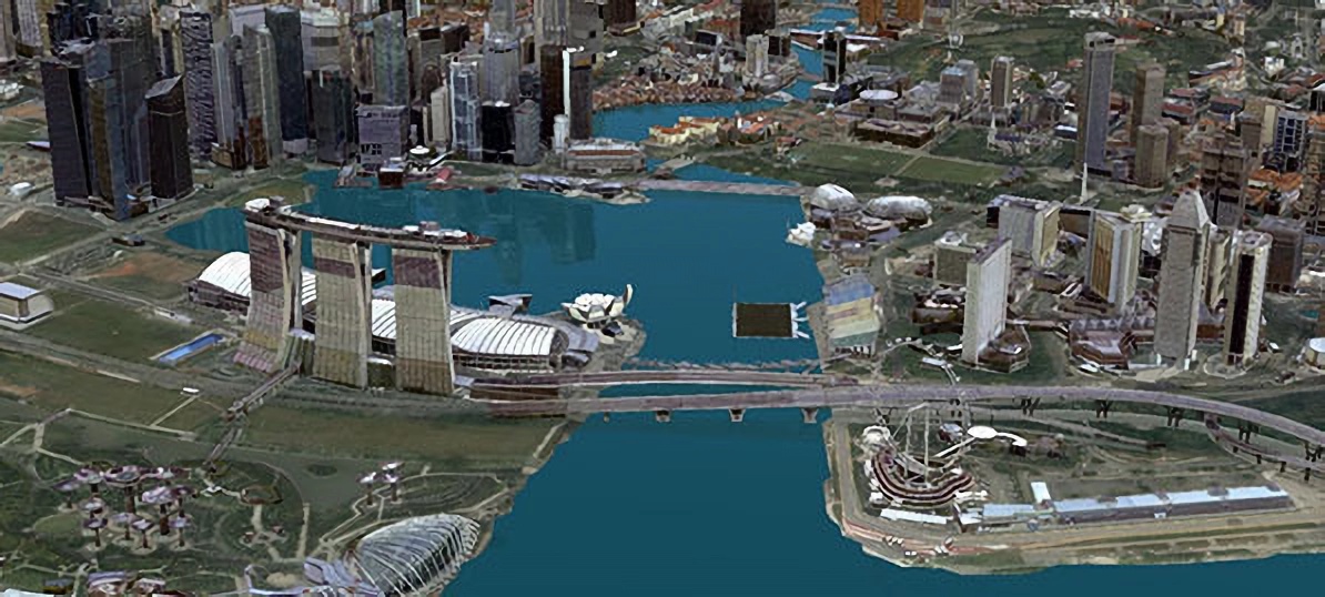
From aerial imagery to laser scanning technology, Sandy Teo, a senior surveyor at Singapore Land Authority, explains how 3D map data is collected and used.
Ever thought that Singapore is “small”? Sandy Teo would be one of the first to correct you. “I always tell my friends that Singapore is not that ‘small’; Singapore is huge — it can hold up to 170,000 buildings!” she quips.
Sandy is a senior surveyor at the Survey and Geomatics Division at Singapore Land Authority (SLA), where she works on the country’s 3D mapping projects. 3D maps are much like regular digital maps, only with much greater potential in terms of applications.
Beyond serving as a tool for us to find the best route to get from point A to point B, the 3D mapping also plays a key role in achieving Singapore’s Smart Nation vision.
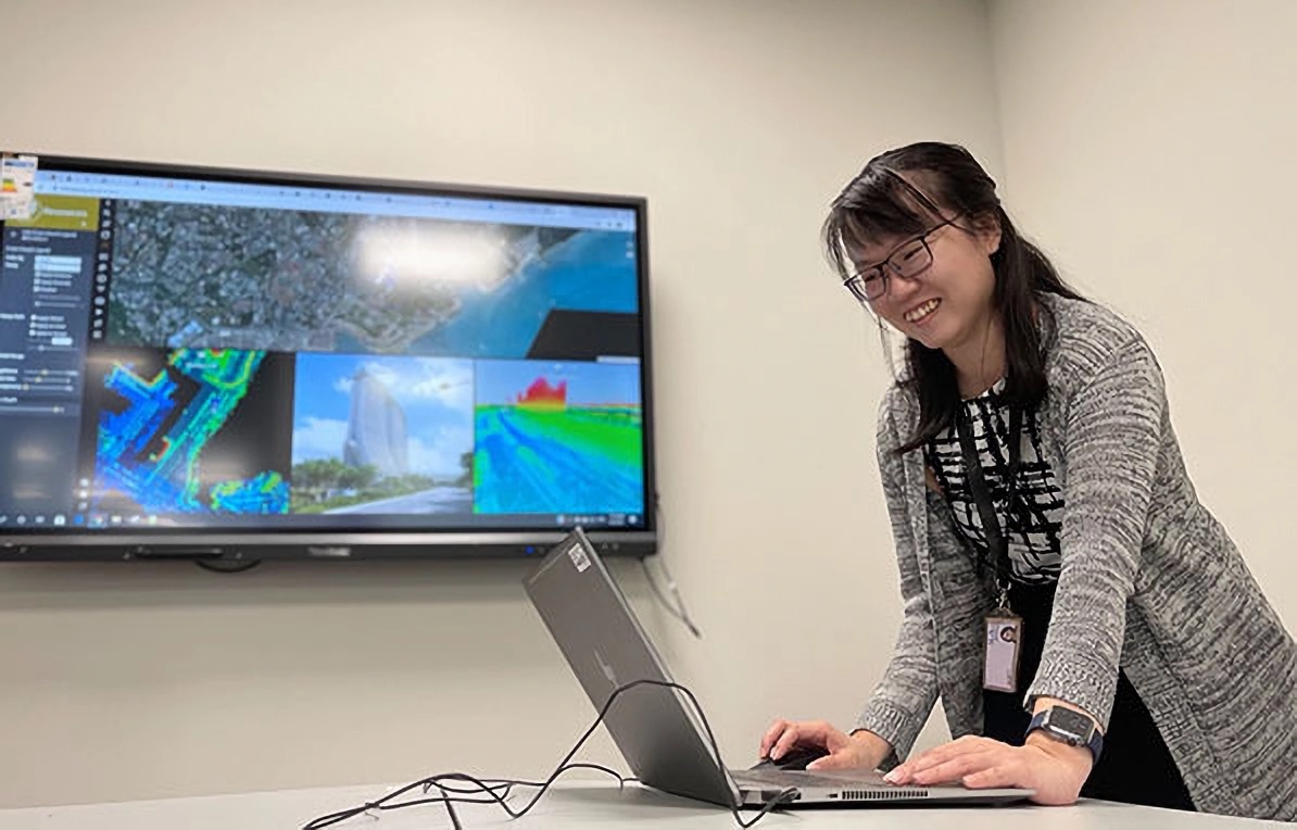 The 3D mapping projects that Sandy Teo, senior surveyor (Survey and Geomatics Division) at Singapore Land Authority, works on can help Singapore achieve its Smart Nation vision. (Photo credit: SLA)
Reality 3D Maps for a Smart Nation
Sandy and the SLA team first collected 3D data of the entire country via aerial imagery and aerial laser scanning technologies. “Laser scanning technology that can capture millions of points per second is widely used in collecting 3D data of the real world and this 3D data can, in some instances, be readily visualised in near real time,” explains Sandy. Part of her job involves checking huge amounts of data and ensuring that they are accurate.
“Fundamentally, data is the source that knowledge and insights can be derived from and it is paramount to ensure that the 3D data is reliable and accurate,” she says.
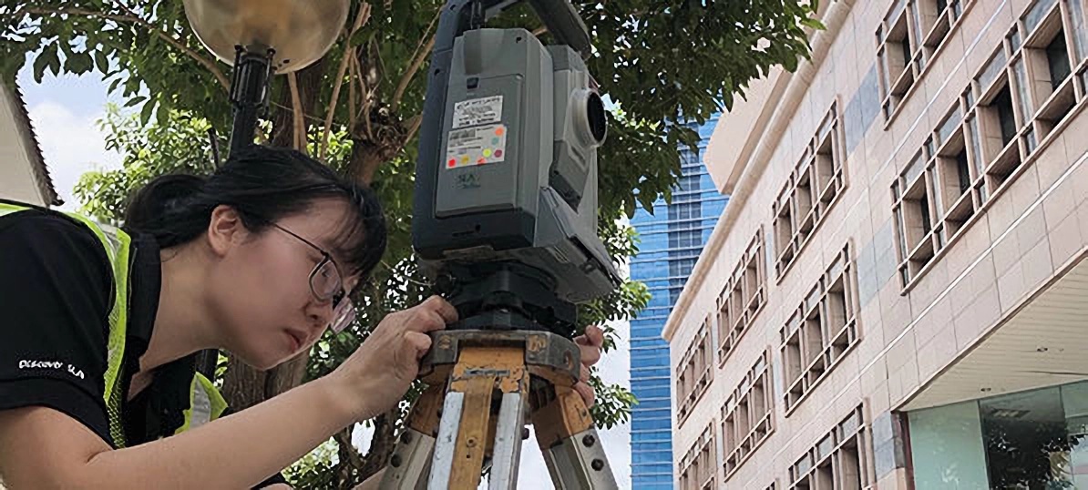 Sandy and her team collected 3D data of Singapore using various technologies. (Photo credit: SLA)
One of the projects Sandy is involved in is SLA’s national 3D mapping project. Through this project, Sandy and her colleagues have produced the largest geospatial dataset collected in Singapore, with over 100 terabytes of data and products that can be used to generate 3D models of buildings, bridges and more. This can then be used for city planning or even policy formulation.
Other agencies have tapped on 3D mapping project to enhance their outcomes. For example, the Public Utilities Board (PUB) uses the terrain model for flood simulation and risk management planning and the Civil Aviation Authority of Singapore (CAAS) finds the map’s building height information useful for managing flight safety around the airport.
Potentially, these 3D city models can even be used to guide us towards a more sustainable future. To fully unlock Singapore’s solar power potential, solar energy forecasts will need to be conducted to identify suitable areas to install solar panels in the country, and such analysis can be carried out using SLA’s 3D models.
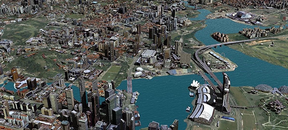 3D data can be used for urban planning and policy formulation. (Photo credit: SLA)
Sandy also helps in customising Geomatics courses for other public agencies to encourage the use of 3D mapping data, covering topics on 3D data acquisition using advanced technologies such as drone mapping, laser scanning and underground utility mapping.
Passion for New Technologies
It’s hard to imagine a world without technology, more so when it comes to creating maps that have as much data as the ones Sandy helps to create.
 Sandy is especially passionate about technology as she believes it will help improve efficiency. (Photo credit: SLA)
“New technology can always process faster while providing similar or better results compared to the traditional ones,” she observes. While some may be put off by the ever-changing technological landscape, Sandy is excited for what the future holds as she believes technology will continue to help in improving efficiency.
She cites the 3D Mapping Cloud (3DMC) that she currently uses as an example. “The web-based platform allows the sharing of cloud data and panoramic imagery between public agencies, and even features tools to enable users to better understand and use data, from determining the width of a footpath to the gradient of a slope and more,” she explains.
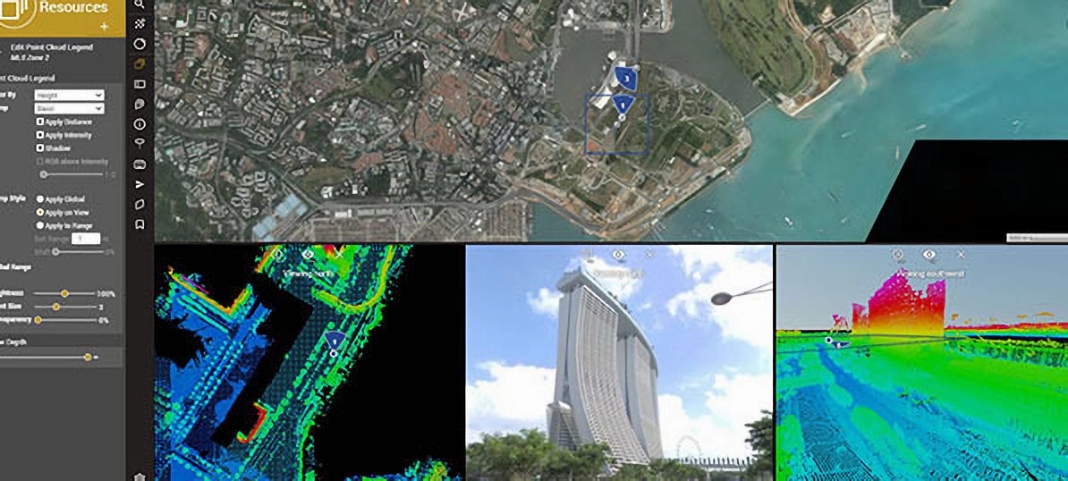 The 3D Mapping Cloud (3DMC) platform is an example of a technology that Sandy is particularly excited about. (Photo credit: SLA)
Another perk of her job is a front-row seat to the incredible changes that Singapore has gone through over the years. Sandy, who has been mapping the country since 2012, shares enthusiastically, “Fun fact: about 10% of Singapore’s buildings had undergone changes between 2014 and 2019. That’s equivalent to about 17,000 buildings being built or reconstructed over those five years!”
So how does Sandy find so much joy in her role? Her secret: “Always have fun at work even while you work hard. I find my work full of interesting things, be it new equipment or new software, that I can always learn and explore.”
Find out more about SLA careers here!

